Arizona’s
Aerial Inspection
Experts

Roofing Problem? 24Hr Emergency Services Available
Quick Service Request

Have questions? We got answers!

This field is required.
Close-up of a modern drone flying with a blurred background, showcasing advanced technology.
About the Company

Professional Drone Inspections

Founded in 2023, Ace-Tek Drones & Imaging was established with a clear mission: to enhance safety, efficiency, and peace of mind through advanced aerial technology. By leveraging cutting-edge drone systems, we provide innovative inspections that help homeowners, insurance companies, and project managers better understand and protect their properties.

Our drone-based inspection services offer a fast, non-invasive, and highly accurate alternative to traditional methods. Whether evaluating residential roofs, monitoring utility infrastructure, or documenting active job sites, our approach eliminates unnecessary risk, reduces downtime, and preserves the integrity of the property being inspected. Each flight is conducted with precision and professionalism, ensuring reliable data collection without disruption to your daily operations or comfort.

At Ace-Tek Drones & Imaging, we are committed to delivering clear insights, actionable results, and exceptional service. Our goal is not only to meet industry standards, but to exceed client expectations by providing dependable aerial solutions you can trust.

To learn more about our services and how we can support your needs, please click the button below.

FAA Licensed
Insured
+
Years In Business
+
Happy Clients
Projects Completed
3rd-party UAS Pilots trained
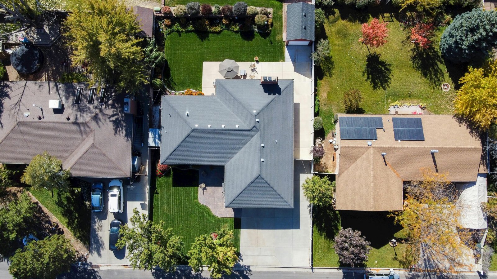
Our Services

We Provide Superior Drone Services with Low Cost

Drone shot capturing rooftops, solar panels, and green lawns in South Jordan, Utah.

Roof Inspections

Drone roof inspections offer a safe, fast, and detailed way to assess roof conditions using high-resolution aerial imagery—helping identify damage and support repairs without the need for direct access.
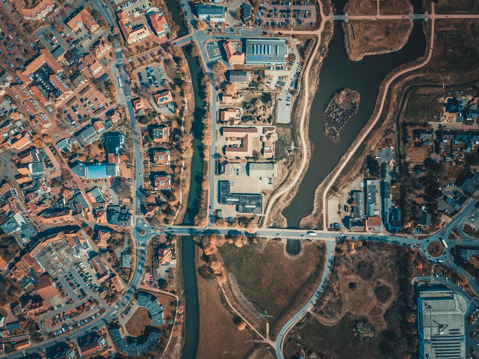
Aerial shot capturing the intricate city layout with roads, buildings, and a body of water.

Mapping/Modeling

Drone mapping and modeling provide high-resolution aerial data to create accurate maps and 3D models, supporting planning, measurement, and progress tracking for projects.

road, drone, aerial, trip, travel, poland, europe, czech, republic, karkonosze, giant mountains, nature, landscape, topdown, above, forest, trees, outdoors, cars, aerial photography

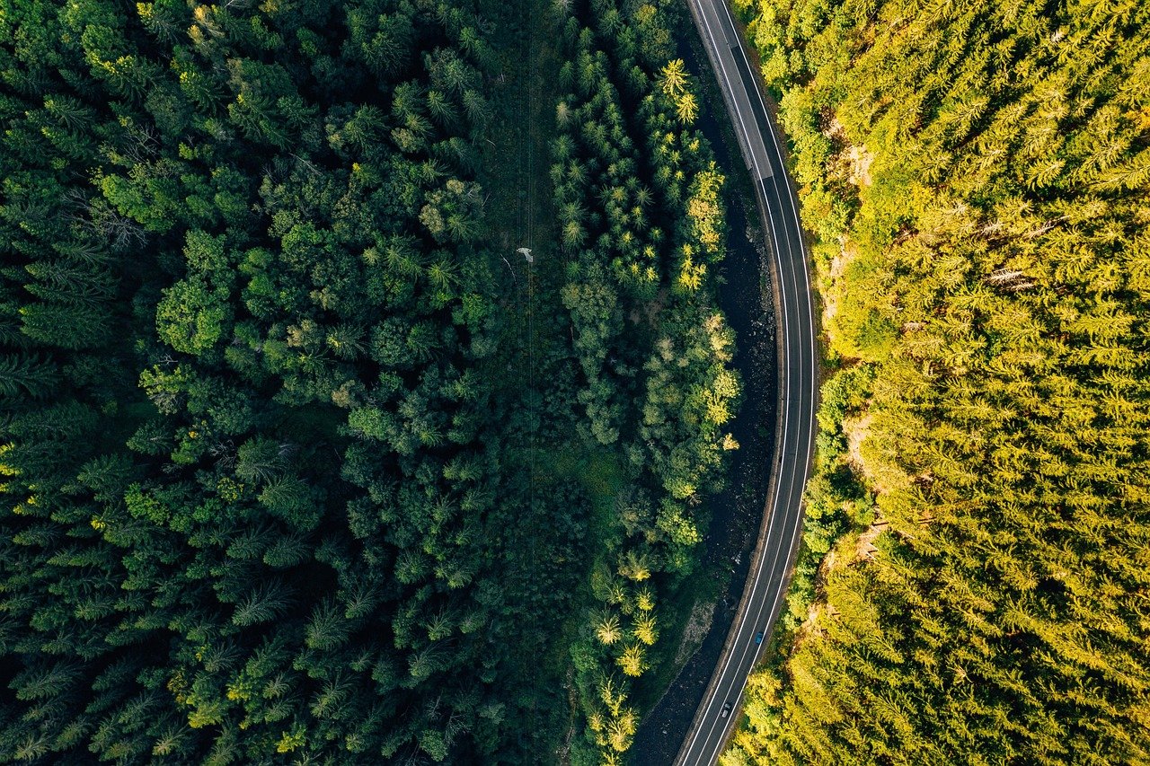
Photography/Videography

Drone photography and videography capture dynamic, high-quality aerial visuals that elevate marketing campaigns and event coverage—showcasing properties, businesses, and moments from a unique perspective that stands out.

Why Choose Us

Six Reasons For People Choosing Us

Quality Deliverables

We ensure quality resolution and editing as needed

Insured & Licensed

All pilots must be FAA Licensed and have Property/Injury Liability Insurance

Client-first attitude

We put the client first regardless of how we might feel. As long as it is legal and do-able, we will get it done.

Quick Turn-around​

We guarantee a 24-hour or less turnaround time

Call/Text Anytime

Our text/call services are open 24/7

BPERP Certified

Our pilots must be Basic Proficiency Evaluation for Remote Pilot (BPERP) Certified to fly