Drone Services
Our Services
Trust Our Experience
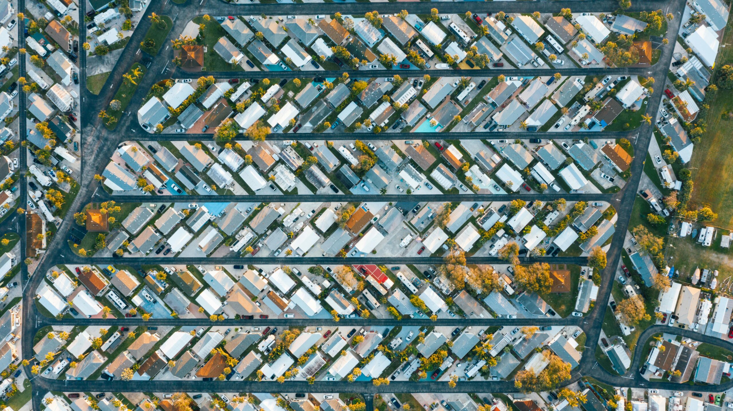
2D/3D Mapping & Modeling
We create accurate 3D maps and models using advanced drone imaging. Perfect for construction, land development, and surveying, our services provide detailed visual data to support planning, analysis, and decision-making.
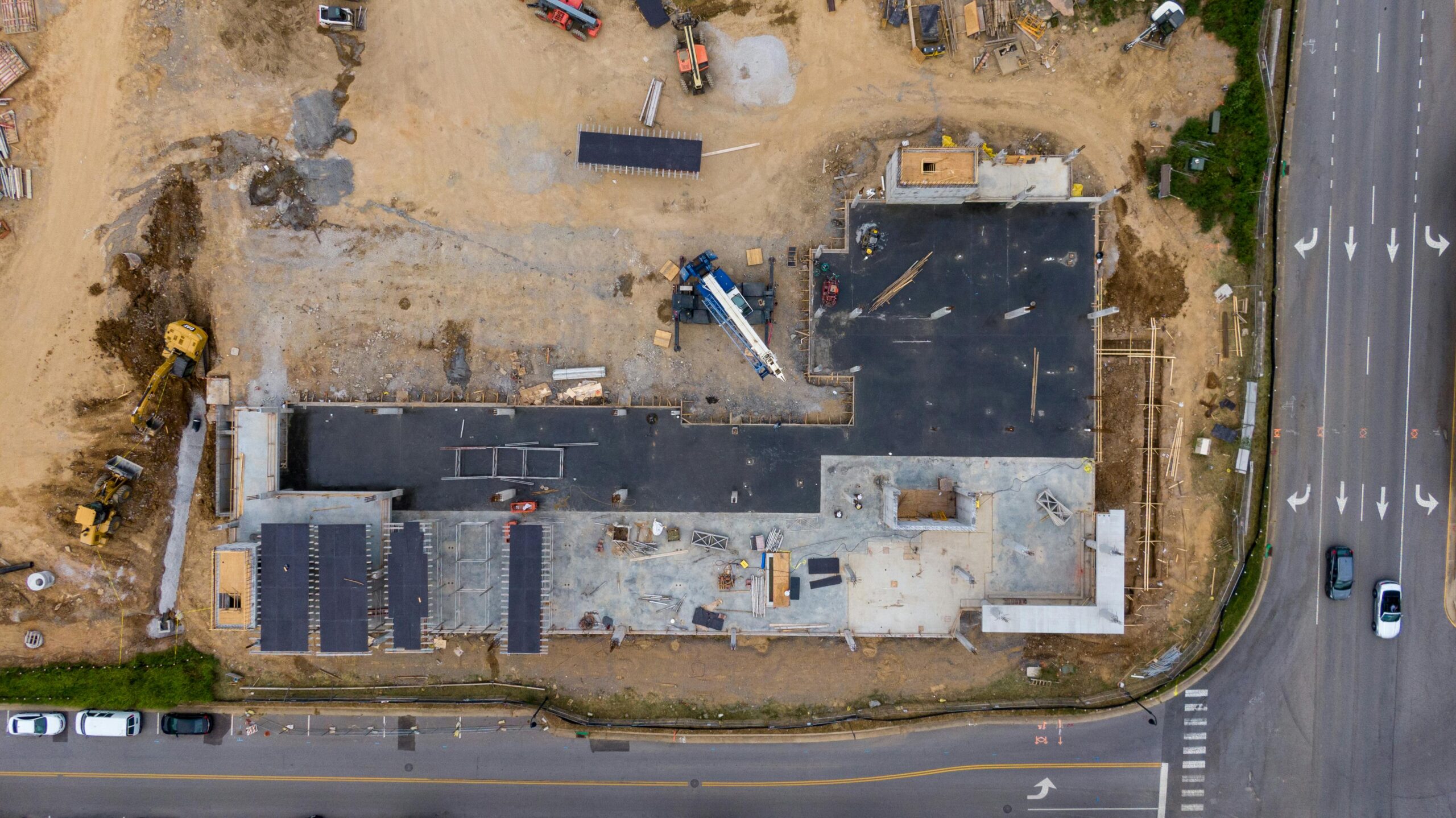
Construction Progress
Enhance your construction project oversight with our drone-based progress monitoring. We provide high-resolution aerial imagery and videos to track developments, ensure safety compliance, and improve project management efficiency.
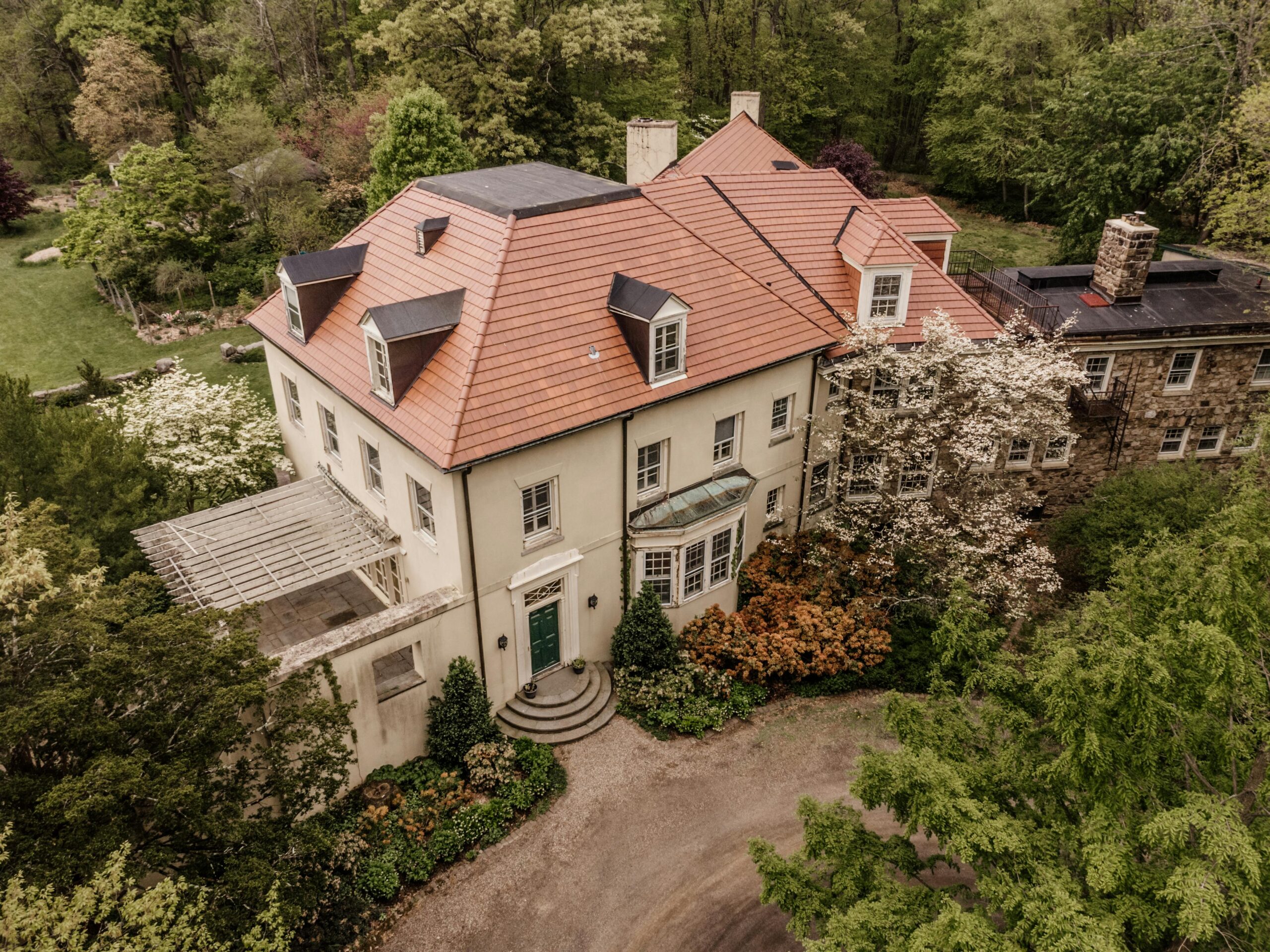
Roof Inspections
Quickly and safely assess roof conditions with our drone roof inspection services. We capture detailed aerial images to identify damage, leaks, and wear, helping you make informed maintenance decisions.
Utility
Inspections
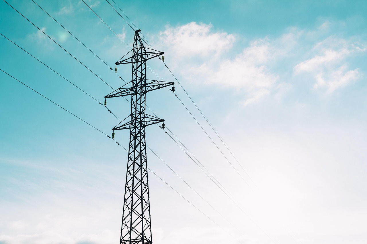
Safe, efficient, and cost-effective aerial inspections for utility infrastructure, including power lines, cell towers, pipelines, and solar farms. Using high-resolution imaging and thermal sensors, our drones deliver accurate data that helps identify issues early, reduce downtime, and minimize the risks associated with manual inspections.
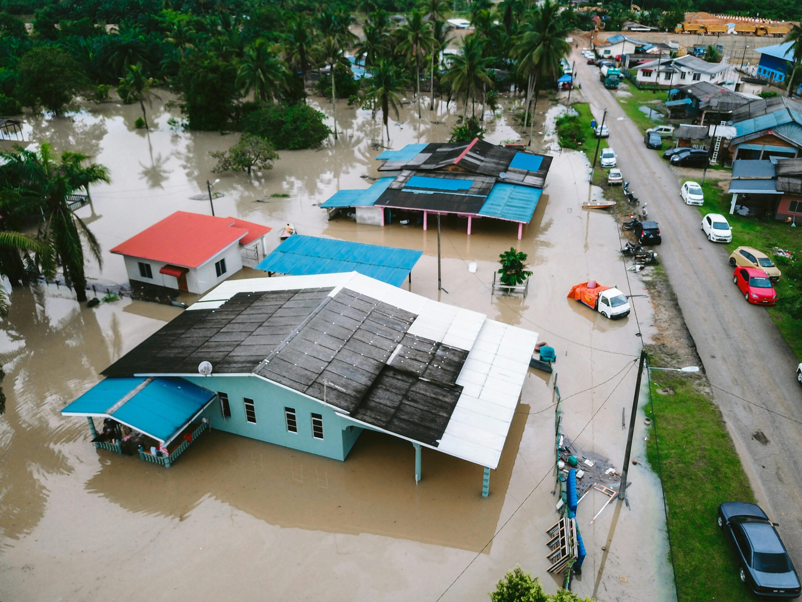
Public Safety / SAR
Aerial Support
Rapid aerial support for public safety agencies and search-and-rescue operations. Our drones deliver real-time imaging, thermal detection, and mapping to enhance situational awareness, improve response times, and increase mission success while keeping personnel safe.

Aerial Photography & Videography
Elevate your events with our professional drone coverage services. We capture stunning aerial footage and photos of weddings, concerts, corporate gatherings, and more, providing a unique perspective that highlights every special moment.
Service Request
Schedule An Appointment
Fill out the form and someone from our team will reach out to you within 24-48 hours. For Search & Rescue missions, we will reach out within the same day.
